Nebraskaland Magazine
Want to highlight a couple of brief news updates in my blog today. First, this one on the Public Lands Atlas:
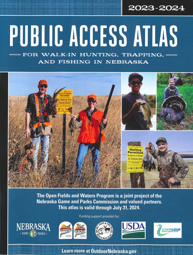
2023-2024 Public Access Atlas now available
There are more than a million acres of publicly accessible lands throughout Nebraska. The recently published 2023-2024 Public Access Atlas identifies and consolidates these public access resources for the benefit of Nebraska’s hunters, trappers and anglers.
Printed copies of this year’s atlas are available at Nebraska Game and Parks Commission headquarters and soon will be available in its district offices and service centers, as well as wherever hunt and fish permits are sold.
The Public Access Atlas also is available online at OutdoorNebraska.gov in several formats: interactive atlas map, offline atlas (mobile-friendly), digital flipbook and Google Earth KMZ files.
The atlas is updated annually and displays all publicly accessible lands throughout the state, including state, federal and conservation partner lands.
Private lands enrolled in Game and Parks’ Open Fields and Waters Program also are included in the atlas. Open Field and Waters provides financial incentives to private landowners allowing walk-in, public access for hunting, trapping and/or fishing. Finding places to hunt and fish can be a challenge for hunters and anglers but, thanks to Nebraska’s landowners, 374,000 acres of private lands are available through this voluntary program.
I pick up a couple, three hard copies of the Public Lands Atlas ever year. Yes, it is updated yearly. One of those copies is always riding in my pickup. I refer to that atlas all the time for all kinds of public lands, parks and recreation areas, wildlife areas, Open Fields/Open Waters, and yes, fishing spots! It also is handy as a road map.
Check out the online version and pick up some hard copies too!
Highway 97
This one is a road report, and I know it will not affect a lot of folks. However, if you are one who travels Highway 97 to Merritt Reservoir or other spots in that area, you need to know this:
Highway 97 closed to through traffic south of Merritt Reservoir SRA
Highway 97 north of Mullen, or 24 miles south of Merritt Reservoir State Recreation Area, is closed to through traffic, effective immediately, according to the Hooker County Sheriff’s Office.
The wooden bridge across the North Loup River is compromised, and the Nebraska Department of Transportation has advised only local cars and pickups without trailers cross the bridge at 25 mph or slower. The closure will be strictly enforced.
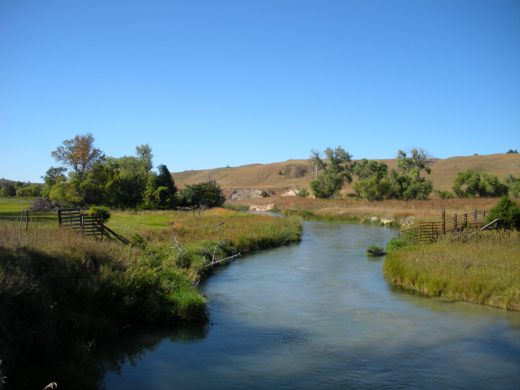
Park visitors traveling from the south are advised to use Highway 83 from Thedford to Valentine and then south 26 miles on Highway 97 to Merritt Reservoir SRA.