 Nebraskaland Magazine
Alternative Routes and Scenic Drives Best Ways to Travel Through State
Enlarge
Desoto National Wildlife Refuge
Drive the roads through the Desoto National Wildlife Refuge one afternoon and there’s no telling what you’ll see. Located 25 miles north of Omaha on Highway 30, white-tailed deer, wild turkeys, ring-necked pheasants, waterfowl and bald eagles are visible from roads. A vehicle entry fee of $3 is charged, but waived for those with a The DeSoto Refuge annual pass ($15.00), Federal Duck Stamp and Federal Recreational Lands Passes including the annual, senior, access, military or volunteer. For events, visit https://www.fws.gov/refuge/Desoto/Events.html or call 712-388-4800.
Canyon Roads
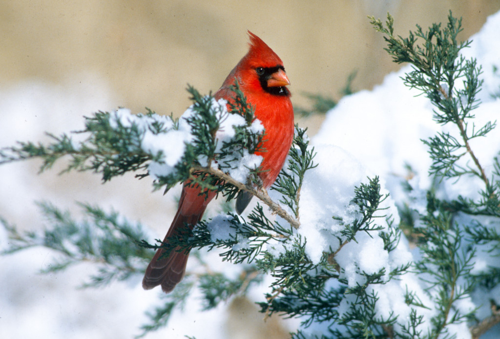
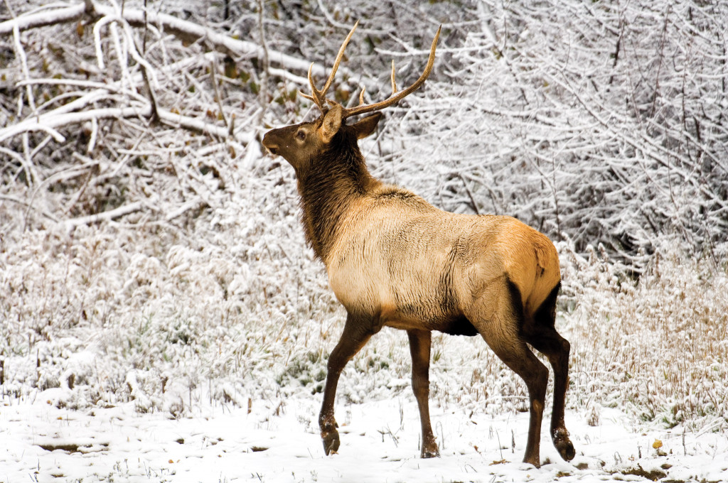
Follow any one of several canyon roads south out of Maxwell (Interstate 80 Exit 190) or Brady (Exit 199) and wind your way to the top of these deeply dissected loess canyons for a spectacular view. Snow-covered, the canyons are awesome, but spring or fall views are equally amazing. Bird watchers will observe a variety of species wintering in the cedar canyons, including great concentrations of mountain and eastern bluebirds. Not all robins travel south, some fly to the canyons and join Townsend’s solitaires foraging for cedar berries. Visitors may also observe mule and white-tailed deer, elk and even bobcat.
U.S. Highway 34
From Hastings to McCook, U.S. Highway 34 leads outdoor viewers down a road with ridges and draws, where deer, turkey, and a host of picturesque landscapes are within sight of the car. If traveling to Colorado from the eastern part of the state and Interstate 80 has lost its visual luster, take this southern alternative. It might take a bit longer to get to Denver, but it’s not because of the detour — it’s because of your frequent stops to photograph.
Crescent Lake National Wildlife Refuge
During the fall and winter months, mule deer and white-tailed deer concentrate their activities near the refuge headquarters. As spring approaches rooster pheasants in their vibrant breeding plumage can be seen along refuge roads, and the buildup of shorebirds and other waterfowl during their spring migrations offers multi-species viewing and photography opportunities as spring progresses. Crescent Lake NWR is located 28 miles north of Oshkosh and the refuge’s limited gravel road and two-track trails pass along the edge of numerous sandhill lakes and marshes where birds and other wildlife concentrate. For more information, contact the refuge headquarters at (308) 762-4893.
County Roads North of Harrison
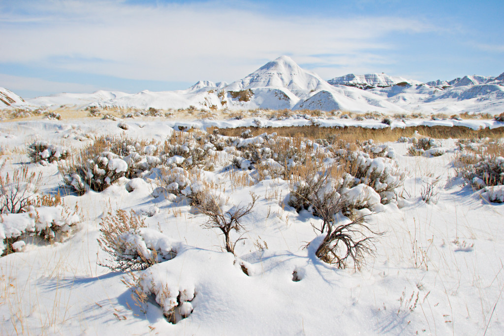
The Sioux and Dawes county roads north of Harrison and Crawford provide a closeup view of Nebraska’s fabled badlands, including Toadstool Geologic Park, the Hudson-Meng Bison Kill Site, scenic Montrose Church as well as Pine Ridge and badlands buttes with colorful names like Pants Butte, Round Top and Sugarloaf. Early morning or late afternoon and evening travel is recommended. There’s only one warning: Avoid even the best Sioux and Dawes county roads following rainfall or snowmelt periods when the gumbo clay makes even 4WD travel impossible at times.
For more information about state park activities and opportunities, go to OutdoorNebraska.org.


