By Platte Basin Timelapse
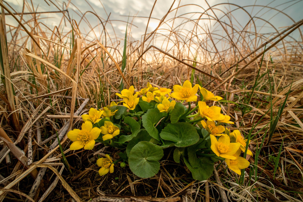
What makes a wetland a wetland? In Nebraska, a wetland is defined by three characteristics. One, a wetland must have a prevalence of water-loving plants adapted to grow in wet conditions. Two, the soil must be developed in these wet conditions. Three, a wetland must be saturated by water at some time during the growing season.
In Nebraska, there are five types of wetlands that fit these characteristics: urban, playa, riverine, saline and sandhills, yet each of these do more than fit a scientific description. They provide life, not only for the myriad species that call these unique landscapes home, but also for the people whose work and personal lives are so intertwined with their day-to-day functions.
Because life follows water.
Urban Wetlands
By Dakota Altman
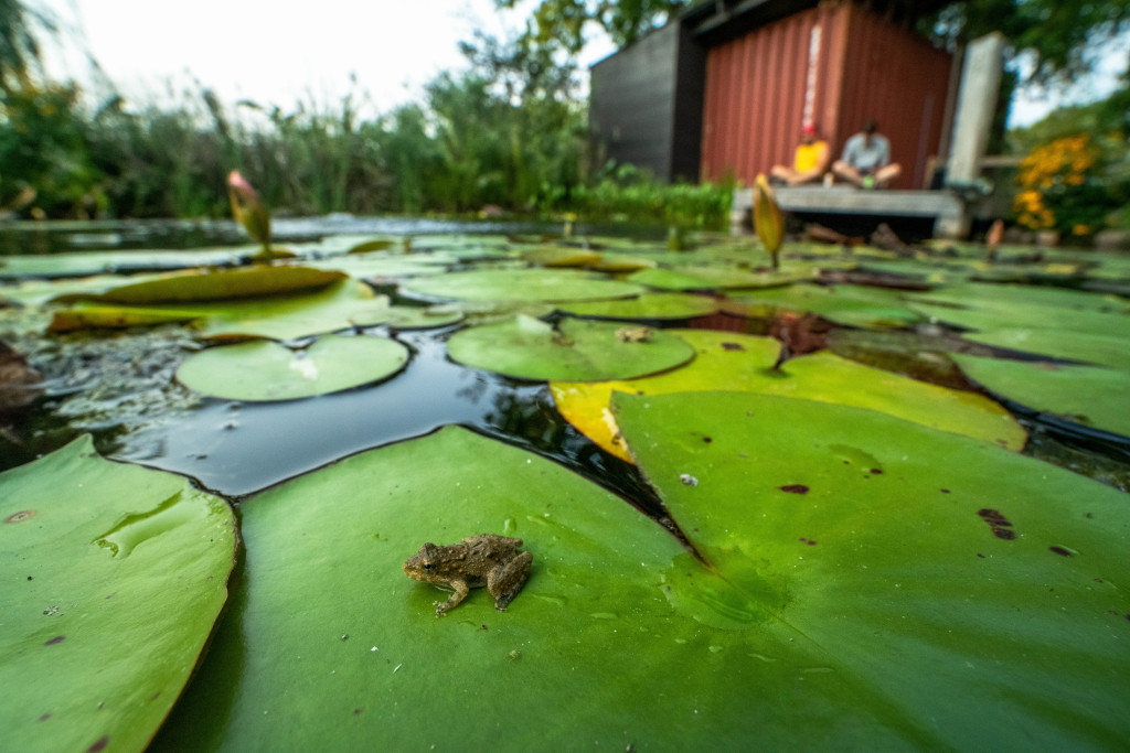
When I started this project, the mention of urban wetlands did not conjure thoughts of a pristine wetland ecosystem. Concrete and uniformity were what came to mind. That all changed when I realized the beauty urban wetlands bring to a community of people and just how many plant and animal species share these urban wetland spaces.
Urban wetlands are stepping stones in a garden; birds, butterflies and more use wetlands, and a properly placed wetland can provide opportunities such as walking, biking, fishing, ice skating and, of course, observing wildlife.
Over an approximate 200-year span, Nebraska has lost around 35% of its wetlands — 2,910,500 acres to 1,905,500 acres today. Much of the loss was contributed by major transformations of landscapes, from expanding agricultural productivity to the encroachment of townships and cities.
Yet this rate has lessened as more people are finding ways to protect and restore wetlands. Through education and on-the-ground collaboration with farmers, ranchers, city residents and everyone in between, a future for Nebraska’s wetlands looks a little brighter — even near the city lights.
Playa Wetlands
By Ethan Freese
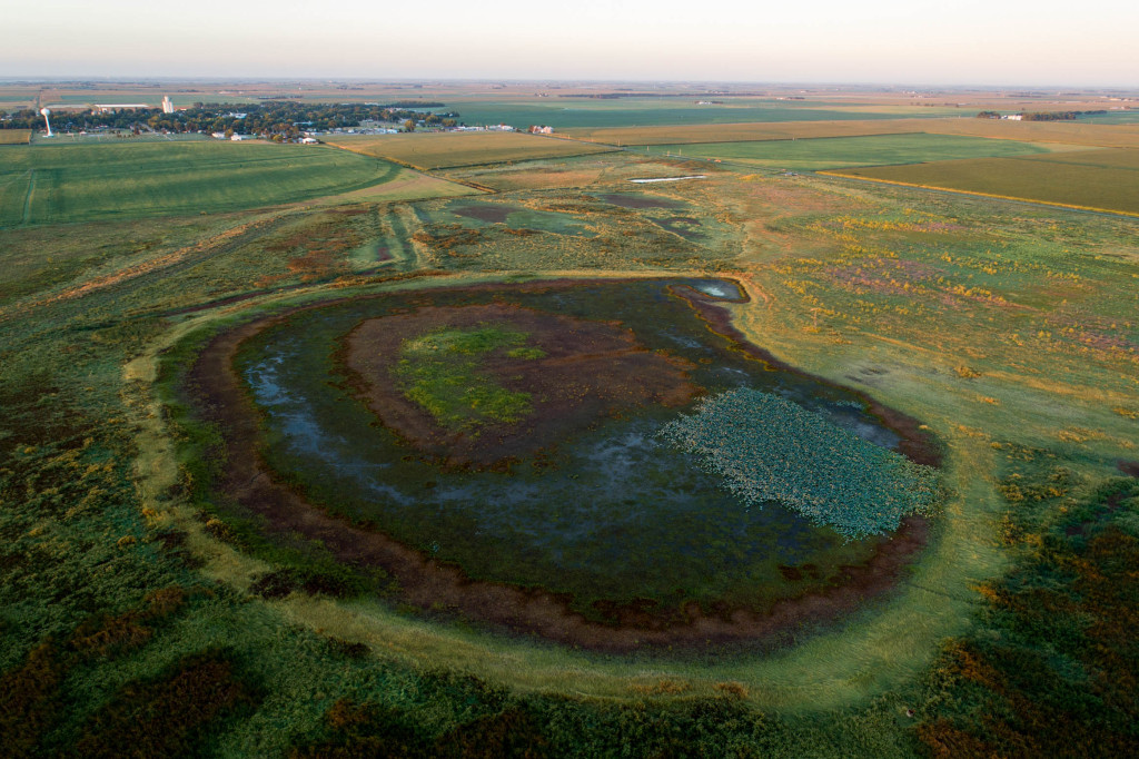
On a spring day, a normally dry depression along Interstate 80 was filled with water, and a massive group of snow geese descended into the water below. This was my first introduction to the Rainwater Basin, Nebraska’s largest playa wetland complex.
Playas receive their water from rain and snowmelt, and they are formed when wind scours out depressions, which are often circular shaped, in relatively flat landscapes. Over thousands of years the downward movement of water has created a clay layer in the soil underneath. When wet, the clay ponds water on the surface of the playa.
In spring, a playa wetland may be filled with a myriad of migratory waterbirds. If you visit the same playa just a few months later, however, the wetland may be completely dry.
Deep pits on marginal cropland, to concentrate the water, undermine playa wetlands, as does sedimentation and invasive species like red canary grass. Yet farmers, ranchers and conservationists continue to work on playas so that the thousands of species of animals that use these ecosystems will have homes long into the future.
Riverine Wetlands
By Grant Reiner
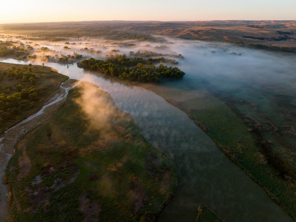
Because water is a necessity for all life, rivers have driven the colonization and spread of human communities across the globe, including Nebraska. Communities were built around Nebraska’s river systems, allowing for easier travel, access to potable and irrigation water, and habitat for wildlife populations both above and below the surface.
With nearly 80,000 miles of rivers and streams in Nebraska, each with riverine wetlands, these ecosystems support a diversity of life and exemplify that everything is connected. From river otters on a backwater slough of the North Platte River to freshwater mussels in the Loup River system, these wetlands are critical for so many species.
They support life, clean our sources of water, disperse impacts of flooding, and are these beautiful, sometimes underappreciated, landscapes and ecosystems. They may stink at times, be super muddy and difficult to move through, but once you take a step back, close your eyes, listen, breathe and use all your senses to immerse yourself into these riverine wetlands, there is no going back to looking at them as merely mosquito-infested swamp. They are so much more.
Saline/Alkaline Wetlands
By Mariah Lundgren and Brooke Talbott
One hundred million years ago, the North American continent was inundated by ocean waters and formed a vast, inland sea called the Western Interior Seaway. Fast forward to now, and those salts from the inland sea remain underground but are constantly being pushed to the surface — right outside of Lincoln — by pressure from the Dakota Aquifer. These are known as the saline wetlands.
They are now some of the rarest wetlands in the world. In the last 150 years, over 80% of an estimated 20,000 acres of saline wetland habitat has been destroyed by ditching, draining and urban development.
Yet hope endures as rigorous restoration efforts are underway, resulting in the reappearance of rare plant and animal species adapted to live within the salt flats. One of these species is the Salt Creek tiger beetle, a federally endangered species found only in these saline wetlands.
But the efforts go beyond the beetle. With more wetlands, there is more habitat for other species in these unique ecosystems. More wetlands also means less flooding in the city, reduced erosion, improved water quality and more places for the curious to recreate — just a few miles from the capital city.
Sandhill Wetlands
By Mariah Lundgren
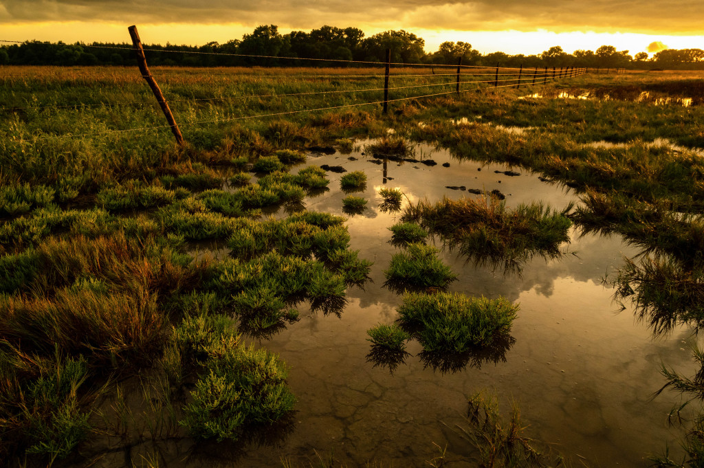
There is still a wildness that remains in the heart of the Great Plains. The loss of prairies and wetlands is overwhelming, but the Sandhills are a place of promise and refuge where 20,000 square miles of mostly intact mixed-grass prairie-covered dunes reside. Beneath the ground lies the Ogallala Aquifer, which holds nearly one billion acre-feet of water.
Wetlands in the Sandhills are found where the aquifer meets the surface in the valleys and between the hills, along the shorelines of the many rivers and streams, and on the edges of lakes. Impressively, the Sandhills has more than one million acres of wetlands and is one of the last truly wild landscapes left in the Great Plains.
Water is a critical resource for the people, plants and wildlife inhabiting the Sandhills and those downstream who rely on the Ogallala Aquifer for drinking water, crop irrigation and other municipal uses. Ranchers and conservation organizations manage the land through grazing, fire and various other methods.
The Sandhills is the largest and most intact grassland left in the world, remaining relatively untouched since the westward invasion of European settlers. The sandy, porous soils make row-crop agriculture challenging, unlike how much of the Great Plains has turned to the plow. The amount of life and wonder that remain in this precious landscape is remarkable.
