By David L. Bristow, History Nebraska
We take for granted that roads will be marked to show directions and hazards. That wasn’t always the case. Early highways were more of a do-it-yourself affair for private groups and local communities.
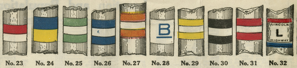
Private organizations began promoting “automobile trails” in the 1910s and ’20s. A group would navigate a cross-country route along local farm roads and then promote this dirt-road path as a “highway.” Local communities eager to attract motorists then marked the route with improvised signage. Painting colorful stripes on telephone poles was a popular way to do it.
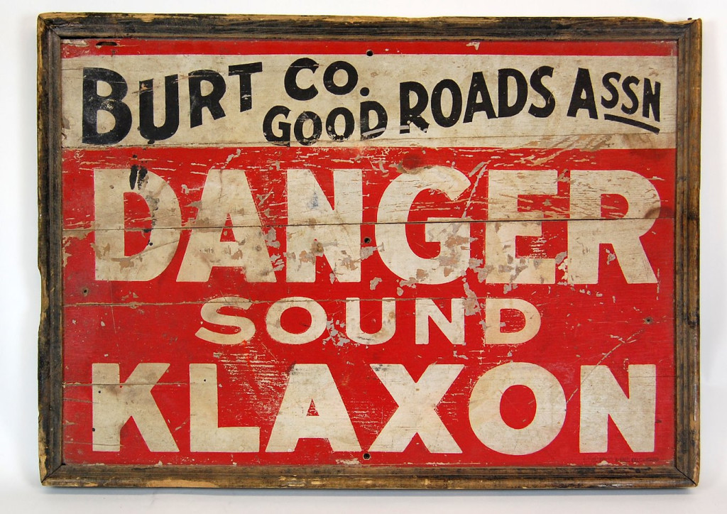
The raspy “awooga” of a Klaxon auto horn is rarely heard today, but a century ago, it was part of a national advertising campaign that changed automobile travel. At the time, car horns were not standard equipment, and highways were full of unmarked hazards.
Starting in 1913, the manufacture of Klaxon horns began giving 18” x 24” wooden signs to automobile clubs — such as the one below from Burt County, Nebraska. Club members placed the signs at dangerous spots.
The Klaxon campaign was not only clever advertising, but it also helped raise expectations that roadside directions and hazards would be prominently marked. In time, it made more sense to devise a publicly funded, standardized system of road signage. Highway advertising was then left to billboards and Burma-Shave signs.
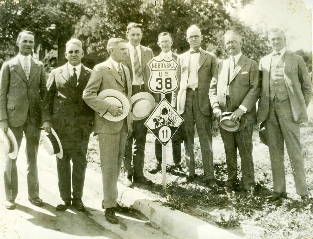
Here are a few examples of how Nebraska’s road signage developed over the first half-century of automobile travel.
Visit History Nebraska’s website at history.nebraska.gov.