
Story and photos by Eric Fowler
I fell in love with flying in small planes when I was a little twerp, riding in the back seat of one my dad was piloting.
My first foray into aerial photography came during an internship at Chadron State College. That assignment was a big one: Photograph the entirety of the Oregon and California trails from Missouri to the West Coast. Wow.
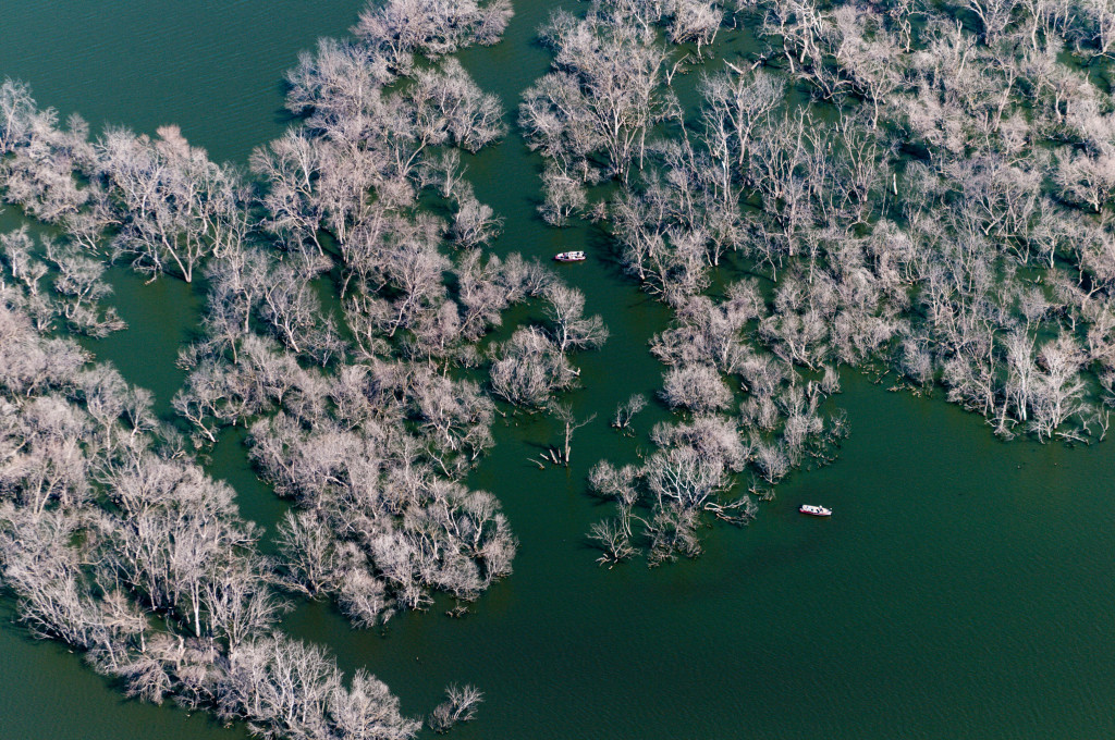
So when I joined the staff at Nebraskaland Magazine 21 years ago, I quickly raised my hand when the editors were looking for someone to capture aerial photos of the Lewis and Clark Trail along the Missouri River. Ever since, I’ve spent hundreds of hours — I wish I had kept track — with my camera pointed out the window of a Cessna, capturing images for anyone at Game and Parks who asked.

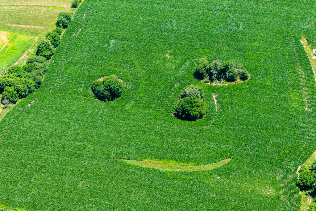
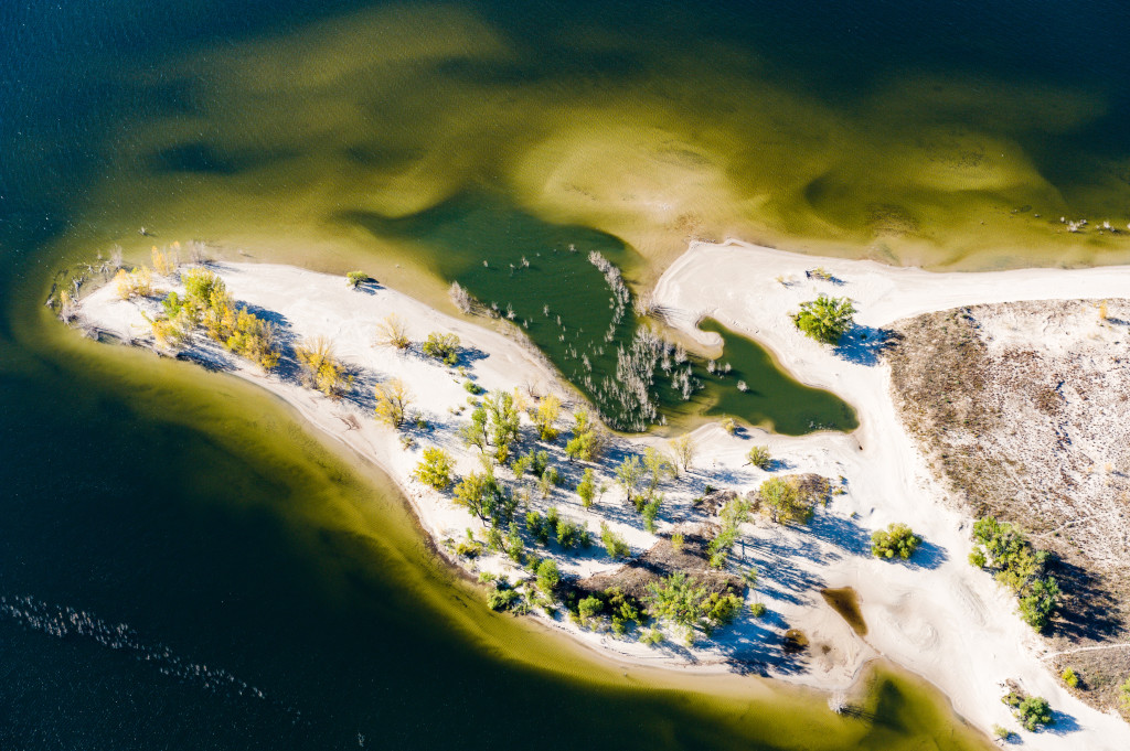
Most flight plans have involved documenting Aquatic Habitat Program projects for our fisheries division. But there are always photo ops between the lakes. Rivers, tree rows, crop fields and highways contain or create interesting patterns and lines on the landscape below that beg to be photographed.
The perspective from 500 to a few thousand feet is entirely different than it is from the ground. It’s why some people pay extra for a window seat when they fly. And why my mantra is “You buy, I’ll fly.” ■

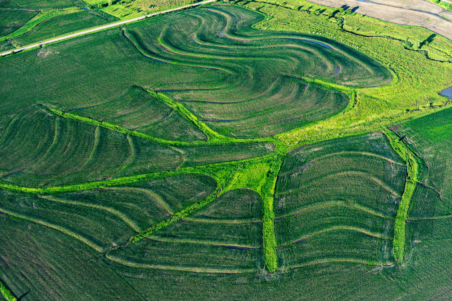

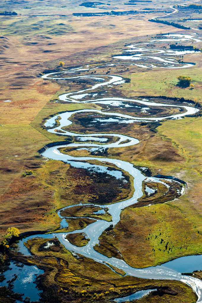
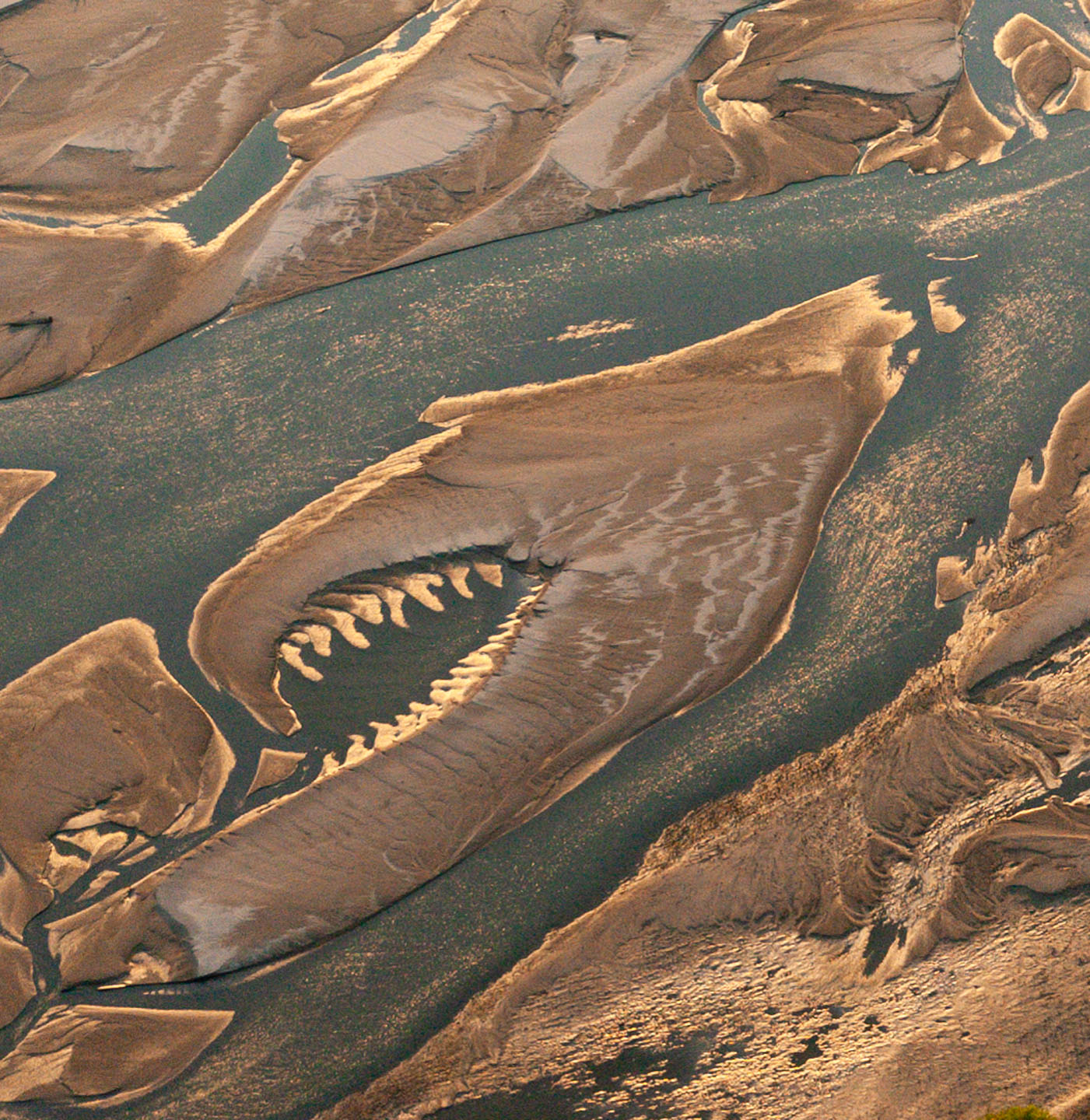
Wisner in Dodge County. Meandering rivers often change course, and crops grow differently in the varied soil types that remain in their former paths.
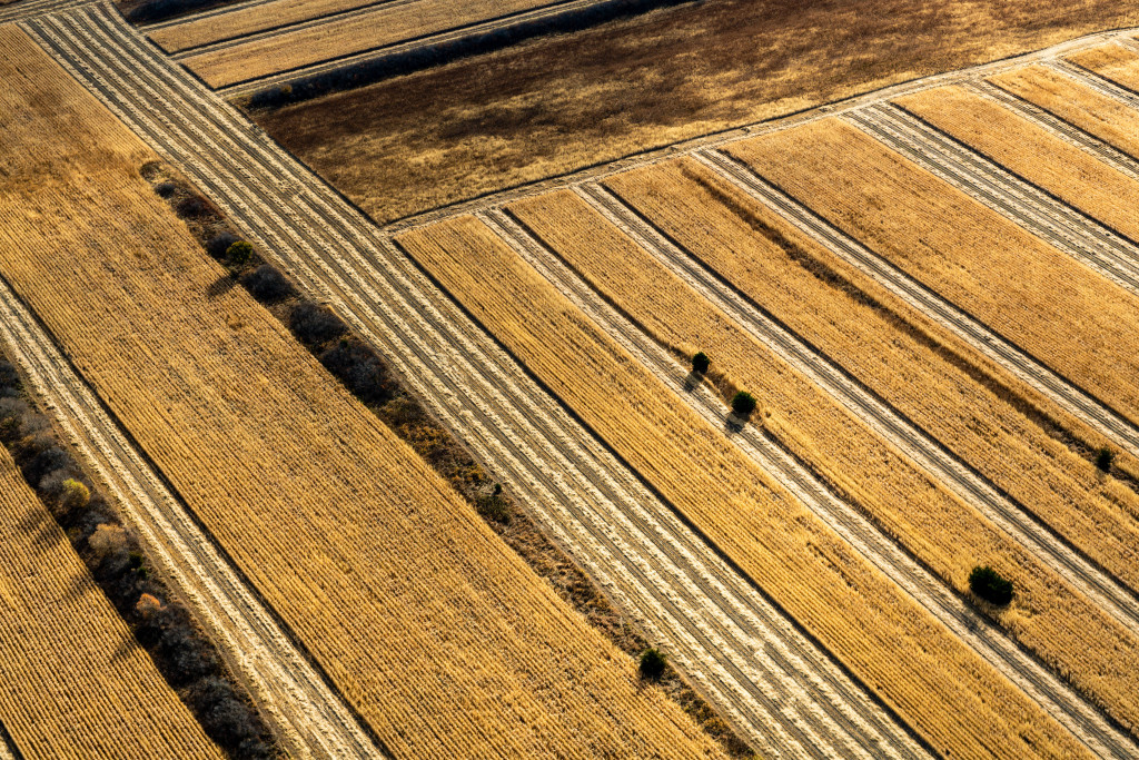
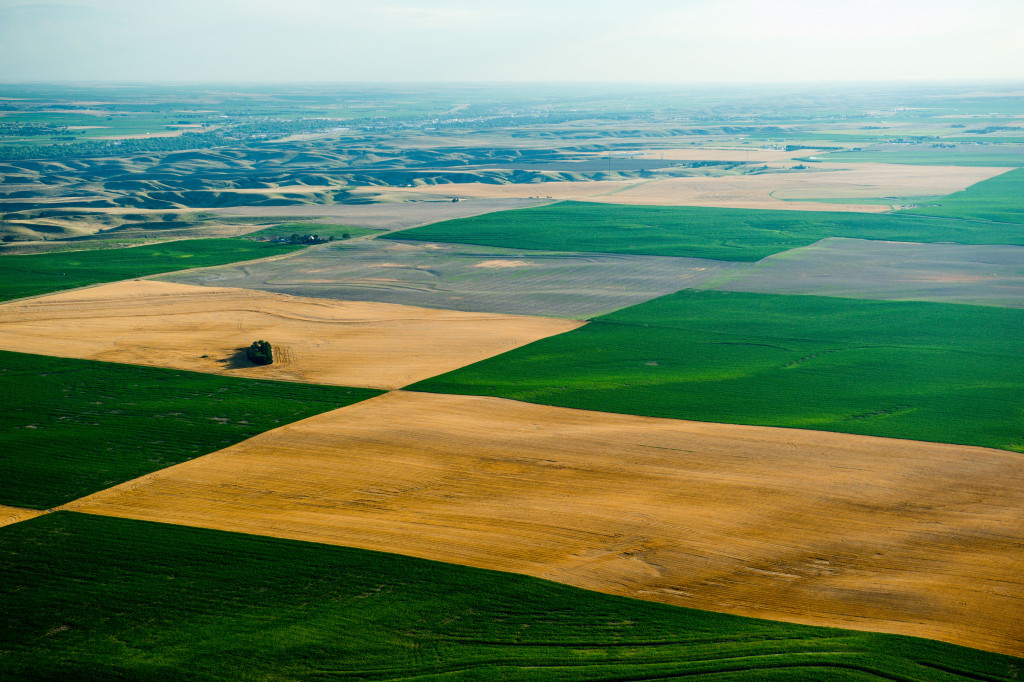
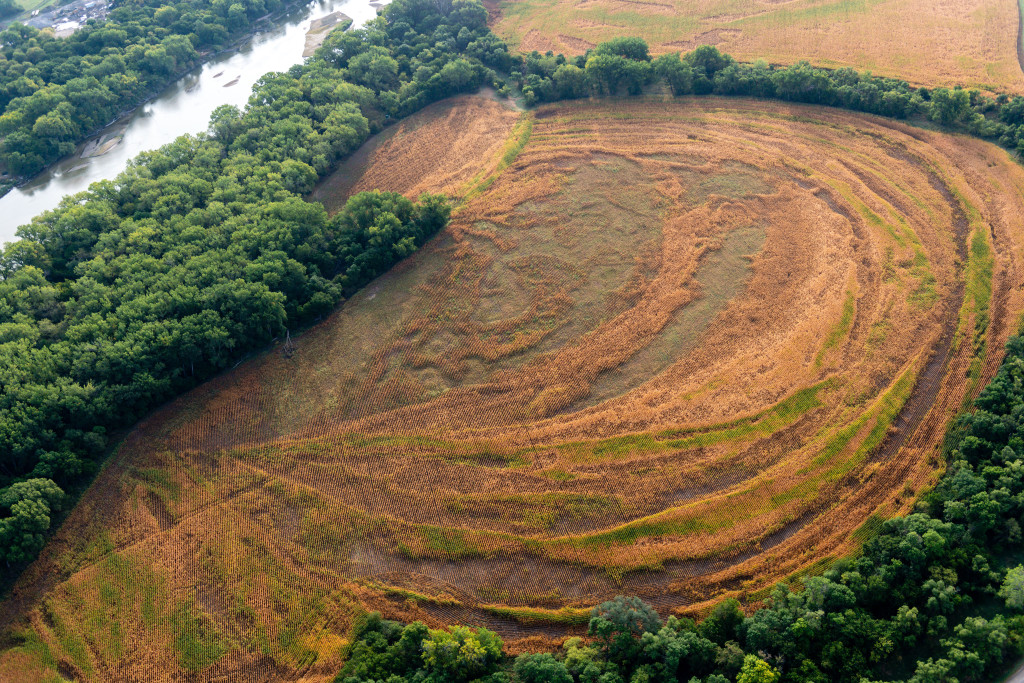
create a patchwork on Pressey Wildlife Management Area in Custer County.